Måløy – painted walls and wind-carved shores
An important fishing town in Vestland, Måløy blends vivid street art, dramatic landscapes and one of Norway’s most beautiful beaches.

Måløy curves into the southeastern tip of Vågsøy island, linked to the mainland by a long, arching bridge. It’s one of Norway’s busiest fishing ports, but its art, history and wild coastlines steal the show. Hop off here to see striking murals, uncover a dramatic World War II story and admire the island’s famous natural landmarks.
Måløy: shaped by the sea and scarred by war
Måløy began life on the tiny island of Moldøen, once a gathering place for captains guiding ships across the mouth of Nordfjord. Local legend claims the Viking king Magnus the Good held court here in 1035, inspiring the island’s early name, Málstefna – “a place to speak.” Over time, the name evolved to Moldøen and the settlement shifted to Måløy on Vågsøy’s southeastern shore.
During World War II, Måløy was the focus of Operation Archery, a daring Allied raid on 27 December 1941. British commandos came ashore under heavy bombardment, fighting through the town’s streets as locals risked everything to resist the Nazi occupation. You can trace the story at the powerful Måløy Raid Centre above the harbour.
Today, as well as being one of Norway’s busiest fishing ports, Måløy is known for its bold and colourful street art, which brightens buildings across town.
There’s plenty to explore beyond the town too. Take a trip to Kannesteinen, a remarkable hourglass-shaped rock formed and polished by water, ice and stone on the island’s western shore, or head north to the soft sweep of Refviksanden, often listed among Norway’s most scenic beaches.

What is the weather like in Måløy?
| Month | Jan | Feb | Mar | Apr | May | Jun | Jul | Aug | Sep | Oct | Nov | Dec |
|---|---|---|---|---|---|---|---|---|---|---|---|---|
Average temp °C (min) | -1 | -1 | 0 | 3 | 7 | 10 | 12 | 12 | 9 | 6 | 2 | 0 |
Average temp °C (max) | 3 | 3 | 5 | 8 | 12 | 15 | 17 | 17 | 14 | 10 | 6 | 4 |
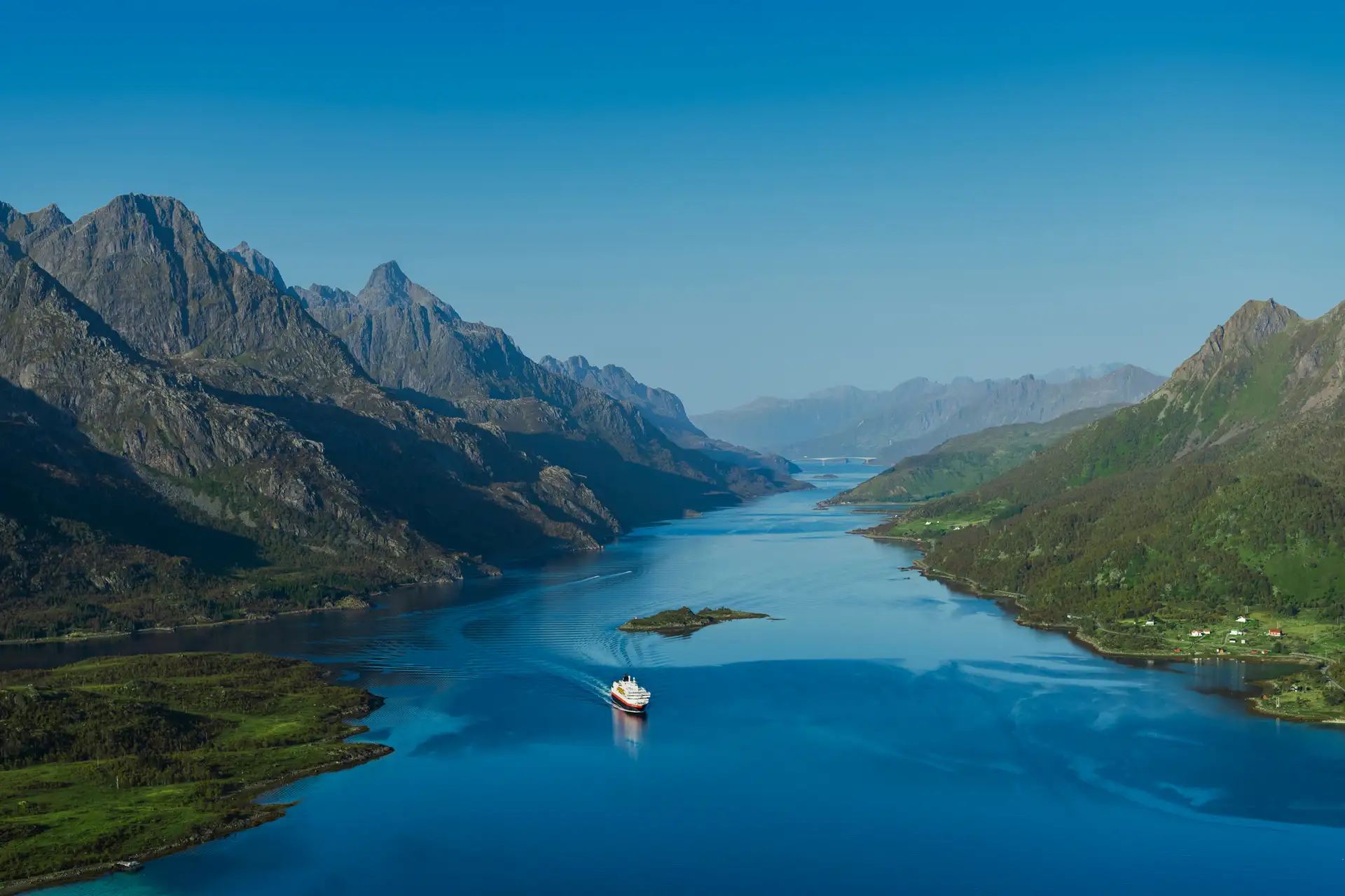
As seen from the sea
As your ship slips into Ulvesund strait, you’ll see the arc of Måløy Bridge stretching between the mainland to the east and Vågsøy to the west. Just beneath sits Moldøen island, where the town first began, and now connected to the island by a causeway.
The peak of Veten rises behind, long used as a landmark by seafarers. Måløy’s quay is busy with fishing boats and ferries, backed by pale homes stacked against the hillside.
Port address: InterComTerminalen, 6701 Måløy