


Self-guided tour
Oslo - Longyearbyen (Northbound)
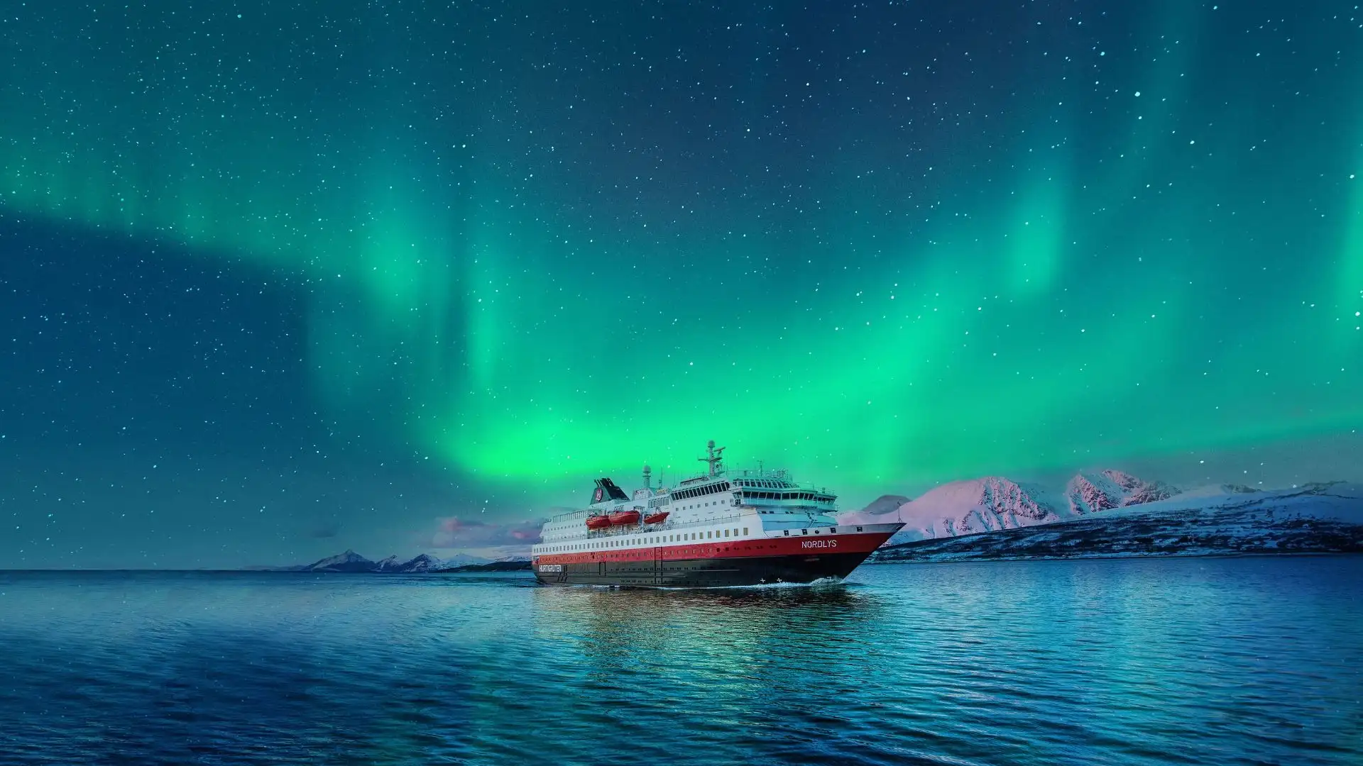
Arctic Norway Frontier – Oslo, Fjords & Svalbard with cruise extension
80° North via one iconic train journey and two extraordinary sea voyages
- May - August 2027
- 18 days
- 5 Stops
- Full board (breakfast, lunch, & dinner)


